Squirrel Point Cartographer
A native Mac application to view and edit GPS Data.
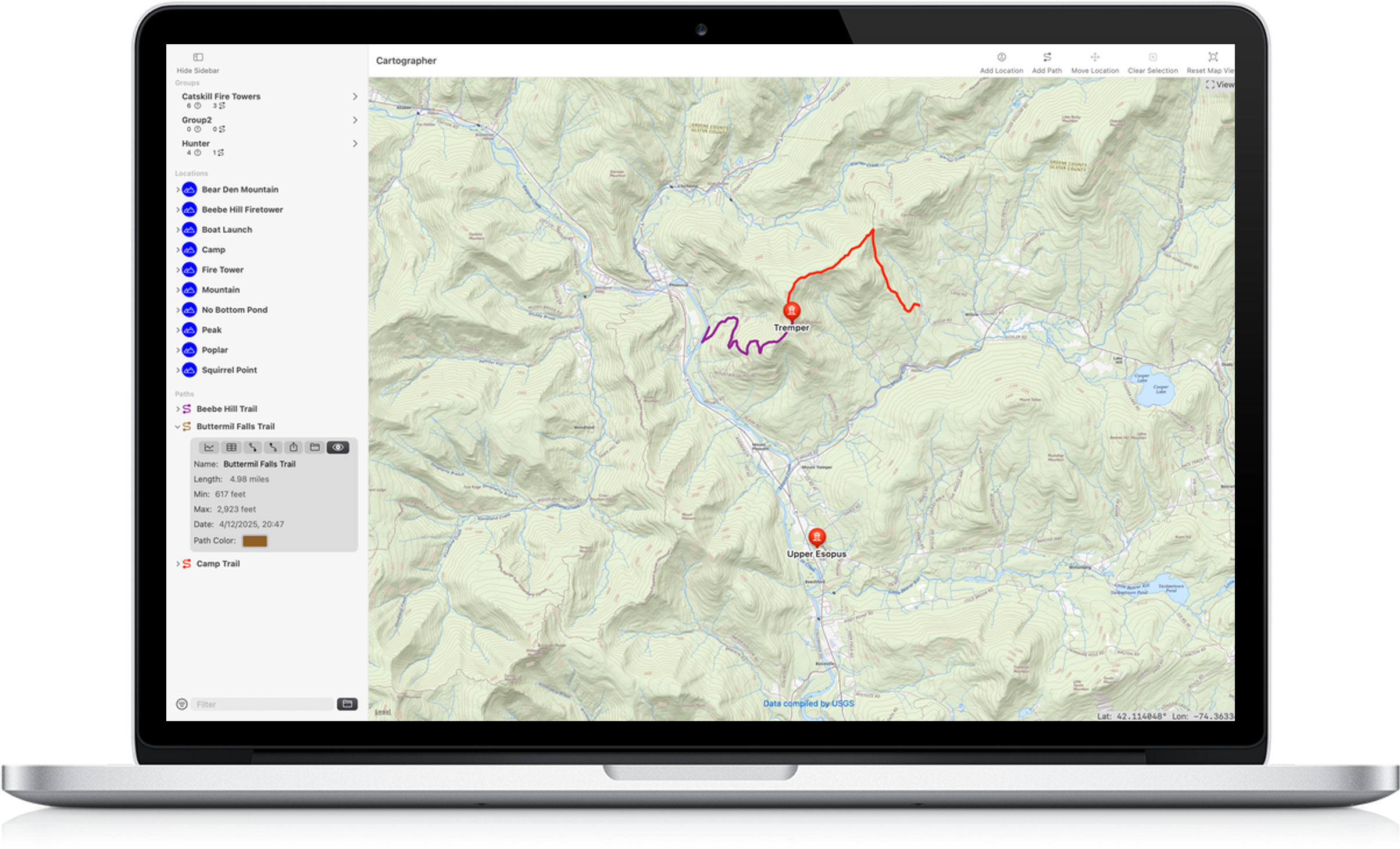

Cartographer was created by an avid cyclist and hiker. Tired of web apps that fall down with lots of waypoints or tracks, stagnant feature sets and bugs that persist year after year, I set out to create a tool to plan, track and share maps of my adventures.
Cartographer is the tool I've wanted for years. I can create maps of all the places I want to visit, plan bike tours, and keep records of past adventures. All data remains on your computer and no AI is ever trained on that data.
See an overview of the features available in Cartographer on our Features Page.
Virtually all features of Cartographer are free to use. You can create unlimited Maps, Locations (waypoints) and Paths. use as many groups as you like to organize your content all for free. Exporting data as GPX or image files does require a subscription or purchase of the lifetime unlock.
I created Cartographer because I wanted to use it and I do. I am regularly improving the app adding features and fixing pain points.
If you have questions, suggestions or just want to say hello, feel free to drop us an email.

Crafted in beautiful upstate New York
This site was created by a human with a text editor and plain old HTML/CSS.