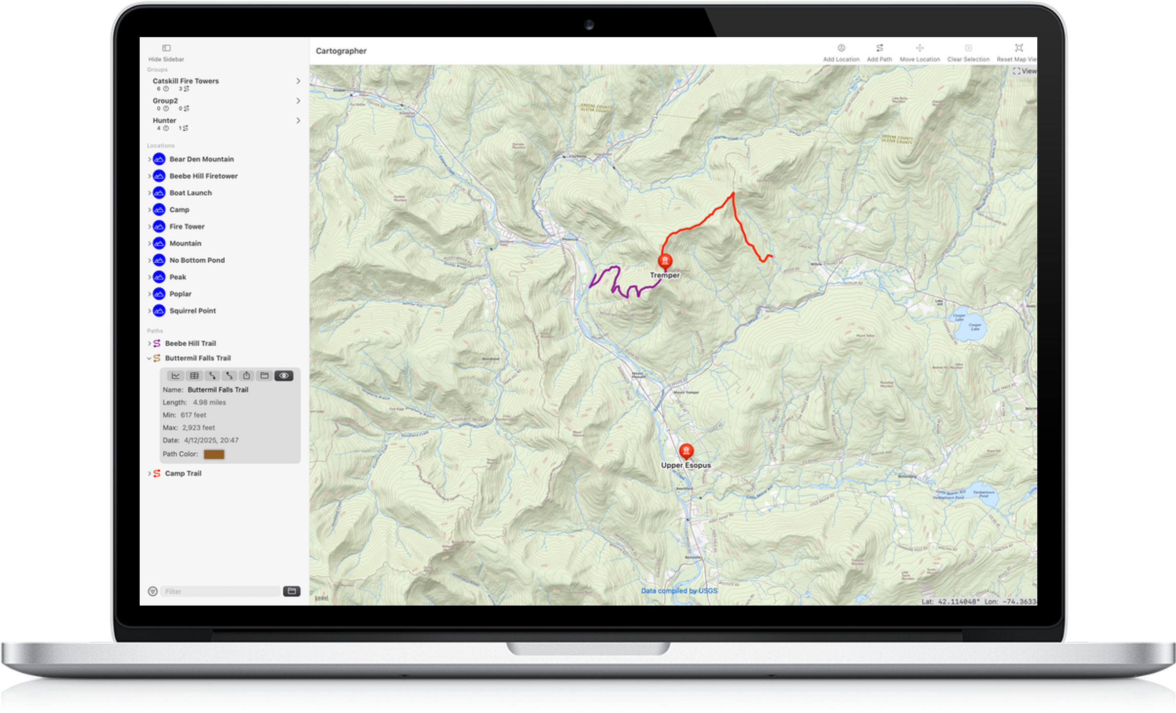
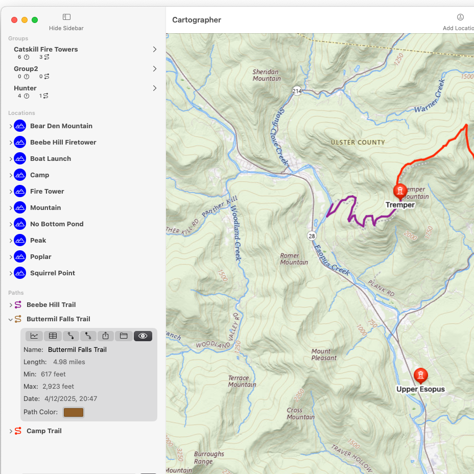
A main goal of any mapping app is planning your route. Whether you're reviewing a past adventure or planning a new trip you will want to see your Path.
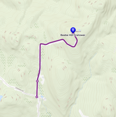
Cartographer's routing tools quickly switch from autogeneration to manually drawing when your trip leads you off the known trails. When you're planning a route on roads or known trails a Path is created by selecting the start and end points. Should you be planning some backwoods adventure where no trail exists switch to manual mode and pick points on the map to draw the proposed route. Best of all you can mix and match methods within the same Path. Start on the road or trail and then wander off on your bushwhack. One Path can do it all.
Autorouting has three distinct tranport modes to help select the best, most safest route. Select from Driving, Walking or Bicycling to find your way.
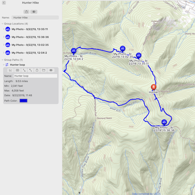
Paths can be styled and will display markers along their length to help see how long they are at a glance. You can view a Paths elevation profile or see all the waypoints collected on a trip.
Your Paths can be edited updating waypoints with drag and drop ease!